Tracking beluga whales in the Beaufort Sea through Facebook

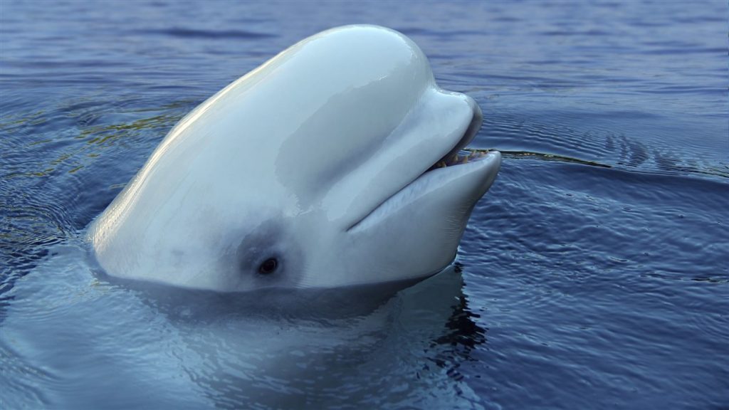
More than a dozen beluga whales in the Beaufort Sea (North of Alaska and Northwest Canada) and have been tagged with tracking devices — and their movements can be followed on Facebook.
This is the first time belugas in the Beaufort Sea have been tagged since 2005. The tracking project is a joint effort between the Department of Fisheries and Oceans (DFO), the Fisheries Joint Management Committee and the Inuvialuit Game Council.
“It’s really community driven,” said Shannon MacPhee, a biologist with the DFO. “The research questions came out of a big community engagement event that we had called the Beluga Summit back in February 2016.”
Vital to coastal communities
She says coastal communities originally wanted belugas to be tagged to better understand where they move and why they were going to certain places.
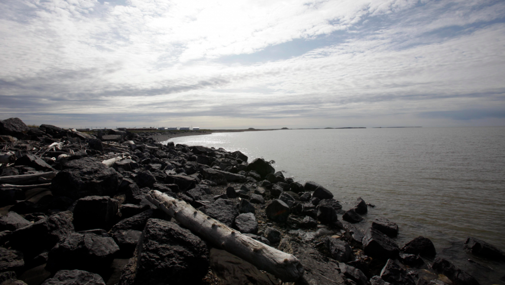
MacPhee said there was a team of around 20 people who were out at the camp on Hendrickson Island, where people in Tuktoyaktuk (Canadian Arctic) traditionally harvest their whales.
“What was really interesting for me to see was that it takes a large amount of people to tag a beluga whale,” she said.
The program started on July 3. By July 13, 14 whales had been tagged.
In total, three different types of tags were used including a traditional “backpack” style tag, that collects detailed location information as well as the dive profile of the whales.
“What was new this year about those tags is that they not only use satellite telemetry but they’ll give us the GPS co-ordinates of the whale, so we are getting very detailed information on [their] positions,” said MacPhee.

Public invited to track whales on Facebook
For those who are interested in tracking the movement of the beluga whales, they can join the Beaufort Sea Beluga Facebook group.
MacPhee says the idea behind the Facebook group is for the public to feel like they are part of the process.
As of July 27, almost 200 people had joined the group. They are able to look at maps posted by the researchers showing recent beluga migration routes.
“What we are looking at is a map on Google Earth and we are receiving the raw location data from the satellite, and we are actually seeing a little dot for every time a transmission goes from a surface whale to the satellite,” said MacPhee.
Most of the tags will last through the fall but some will last throughout the winter, so they can get a better understanding of where some of the belugas travel in the spring.
Strange travels
Recently, about 50 belugas came down the Schooner Channel near Aklavik, an abnormal route for so many to take.
John Noksana Jr., vice-chair for the Fisheries Joint Management Committee, says this tagging will give them a better understanding of what these whales are doing.
“I mean we can protect them from industry, tourism and shipping … just to make sure they are taken care of,” said Noksana.
He says whaling is vital to every community in the region.
He hopes that with the data they get, they can create exclusion areas or speed limits for ships in particular places that the belugas frequent.
Next year, there will be another round of tagging.
Related stories from around the North:
Canada: Inuit association gets $900,000 to monitor marine protected area in Arctic Canada, Eye on the Arctic
Finland: Endangered Finnish seal population slowly recovering, Yle News
Iceland: Scientists puzzled by right whale’s appearance off Iceland, CBC News
Norway: Lower Barents Sea cod and haddock quotas, scientists advise, The Independent Barents Observer
Russia: Polar bears greatly exposed to toxic chemicals in eastern Barents Sea, The Independent Barents Observer
Sweden: Poachers suspected behind dwindling wolf numbers in Sweden, Radio Sweden
United States: Communities wrestle with shark-bite mystery off Alaskan coast, Eye on the Arctic


